


Be In The Know
May 5, 2025
Waterfront Property Owners Can Learn About Ordinance Changes at Open House
Chesapeake Bay Preservation Area ordinance public open house meetings to be held May 19 and May 22.

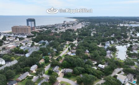
If you own property along the Chesapeake Bay, the Lynnhaven River or its tributaries, changes are coming that may affect your property.
The Resource Protection Area (RPA) is a key component of the Chesapeake Bay Preservation Area (CBPAO). The state’s Department of Environmental Quality (DEQ) requires the RPA to be a 100-foot buffer measured from the edge of applicable wetlands or waterbodies.
Right now, on certain properties with a slope leading to wetlands, the City code requires an additional variable width buffer. This buffer requirement would be eliminated, which means that for some properties, the protected buffer zone will shrink to just the state-required 100 feet.
“This amendment will reduce some regulations outside the 100-foot buffer and help streamline the process for development requests in those areas,” said the City’s environmental coordinator Hannah Sabo. “It will also make it easier to implement certain flooding adaptation measures.”
Under the updated regulations, projects in the RPA must now assess the impacts of climate change and sea-level rise through the submission of a climate changes assessment as part of the Water Quality Impact Assessment. Some adaptation measures within the RPA, such as living shoreline projects, will now be able to be reviewed administratively under the updated regulations.
These CBPAO regulations are changing because the DEQ has made updates to the State Chesapeake Bay Preservation Area Designation and Management Regulations.
Learn More
Two informational open-house-style public meetings will be held for individuals who own waterfront property that drains to the Chesapeake Bay and are interested in learning more:
- Monday, May 19, 6-8 p.m.
EMS Headquarters (Training Room), 4160 Virginia Beach Blvd. - Thursday, May 22, 6-8 p.m.
Great Neck Recreation Center, 2521 Shorehaven Drive
City staff will be at the event to explain what’s happening and respond to questions.
Comments or questions can be emailed to waterfront@vbgov.com. For more information, visit Planning.VirginiaBeach.gov/CBPA.

This diagram shows a house and trees on a bank next to a water feature. It illustrates the components of the Resource Protection Area (RPA) depicting the 100-foot RPA Buffer beginning at applicable tidal wetland, tidal shores and contiguous nontidal wetlands and an area extending 100-foot landward. The depicted 100-foot buffer is comprised of a 50-foot seaward buffer and a 50-foot landward buffer. The diagram also shows the 100-foot variable width buffer on areas with highly erodible soils and a slope of 6% or greater extending from the top of bank feature to 100-foot landward, and depicts the Resource Management Area (RMA) extending landward from the boundary of the RPA buffer.
Email comments or questions to Waterfront@VBgov.com.
Keep Reading
See All PostsBlog
Blog
Blog

-
Calendar News Blog Hot Topics Multimedia Social Media Mobile Apps