Be In The Know
The Ripple Effect: Pungo Ferry Road Project Reviewed at Oct. 23 Meeting
In case you missed it, view the presentation and provide feedback about this Flood Protection Program project.

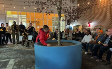
Residents learned about the Pungo Ferry Road Improvements project, part of the Flood Protection Program, during a public information meeting on Oct. 23 at Creeds Elementary School.
Overview of Pungo Ferry Road Project
This project is part of Virginia Beach’s Southern Rivers Watershed strategy to enhance flood protection and resilience in low-lying areas. Pungo Ferry Road, from its intersection with Blackwater Road to the western approach of the Pungo Ferry Road Bridge, is particularly vulnerable to flooding from rainfall events and high tides. This project aims to create a more resilient roadway, improve drainage, and ensure safer passage for residents, especially during extreme weather events.
Pungo Ferry Road is a vital connection across the North Landing River in Virginia Beach, supporting residents, agriculture, tourism and recreation. However, this essential route faces recurring flooding and the growing threat of sea level rise, creating significant risks for all who rely on it. Frequent closures and traffic disruptions not only affect daily commutes but also hinder emergency vehicle response times, emphasizing the urgent need for improvements to ensure safe and reliable access.
Four Proposed Alternatives
The primary purpose of the meeting was to share four alternative approaches under consideration to raise 1.5 miles of Pungo Ferry Road to a higher elevation. They include:
- Alternative A: Realigning the road 32 feet to the north
- Alternative B: Realigning the road 9 feet to the north
- Alternative C: Reconstructing the road on its existing alignment
- Alternative D: Reconstructing the road on its existing alignment using a combination of a bridge and at-grade roadway
Each of the four alternatives present varying impacts to traffic, duration of construction, budget, and environmental impact. The project brochure and presentation video outline the details for each alternative.
Timeline, Next Steps and Feedback
The project team also presented a preliminary schedule, which includes detailed design and permitting phases over the next several years. Construction is expected to begin in 2031, with an emphasis on minimizing disruptions to residents and local businesses.
Public feedback is essential, and the team wants to hear from you. Share your thoughts and questions by completing the comment card. Provide comments to Pungo Ferry Road Project Manager Christina Ammens by Nov. 25 to be included in the meeting record. Send comment cards via email to cammens@vbgov.com or mail to 484 Viking Drive, Virginia Beach, VA 23452.
The Virginia Beach Flood Protection Program — The Ripple Effect — is a comprehensive 10-year plan to address recurrent flooding in Virginia Beach. In November 2021, Virginia Beach voters overwhelmingly supported a resiliency package for several key flood protection initiatives to include drainage improvements, tide gates, pump stations and flood barriers throughout the city. The projects are led by Public Works with support from a community oversight board for transparency and accountability. Learn more at VirginiaBeach.gov/RippleEffect.
Contact Information
Keep Reading
See All Posts-
Calendar News Blog Hot Topics Multimedia Social Media Mobile Apps


