





Be In The Know
July 8, 2026
The Ripple Effect: Strengthening Pungo Ferry Road for the Future
Provide your feedback before July 18 to help guide improvements to a vital corridor.
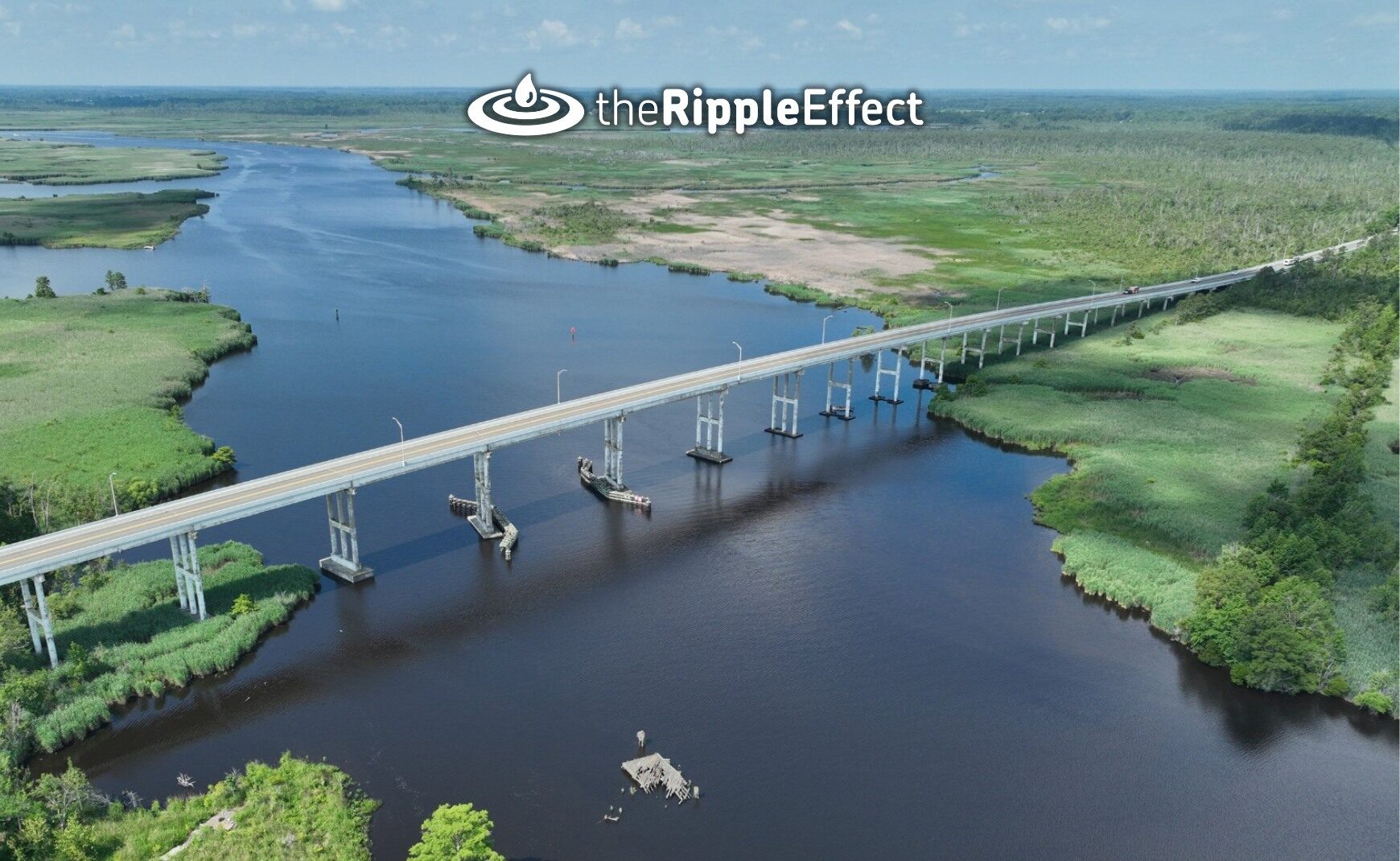
At a June 18 public hearing, the City presented the draft Environmental Assessment document for the Pungo Ferry Road project and provided residents with an overview of the proposed improvements. Now you can weigh in before July 18 on one of the community’s most flood‑prone and heavily traveled southern corridors.
Why This Stretch Needs a Lift
Pungo Ferry Road serves as a crucial east‑west link for residents, agriculture, recreation and emergency vehicles — but its low elevation makes it vulnerable to routine flooding.
In some areas, the roadway sits between elevation 1.7 and 4 feet (NAVD 88), with water often flowing onto the roadway during rain events and even on sunny days with wind‑driven tides. As water levels in Virginia Beach continue rising at nearly twice the global rate, closures and delays are expected to worsen without intervention.
More than 4,700 vehicles use the road daily. From 2018 to 2025, it flooded 31 times, not counting minor inundation events. When the road closes, drivers face a 40‑mile round‑trip detour to the nearest alternate east–west route — which can also flood. As a designated secondary evacuation route, dependable access is essential for smaller communities in southeastern Virginia and northeastern North Carolina, as well as for first responders who rely on this corridor to reach isolated areas.
Proposed Solution and Benefits
To address these challenges, the City evaluated three options:
- A no‑build scenario
- A northern shift option
- The retaining wall alternative (preferred)
The preferred option would realign the road about 15 feet north and raise the centerline to approximate elevation 6.5 feet (NAVD 88), adding wider shoulders, guardrails and modern safety features. This approach causes fewer wetland and right‑of‑way impacts than the other build alternative and keeps two‑way traffic open for most of construction.
Shape What Happens Next
The City is gathering public input on the Environmental Assessment document and the preferred alternative to help guide the next phase of the project. Residents can share their thoughts by visiting the project webpage and submitting the Comment Form before July 18.
Comments may also be emailed to Project Manager Christina Ammens at cammens@vbgov.com or mailed to:
Public Works – Engineering
2509 Princess Anne Road, Building 33
Virginia Beach, VA 23456
Your feedback will help guide how the project proceeds and play an important part in a safer, stronger roadway for the future.
The Virginia Beach Flood Protection Program — The Ripple Effect — is a comprehensive 10-year plan to address recurrent flooding in Virginia Beach. In November 2021, Virginia Beach voters overwhelmingly supported a resiliency package for several key flood protection initiatives to include drainage improvements, tide gates, pump stations and flood barriers throughout the city. The projects are led by Public Works with support from a community oversight board for transparency and accountability. Learn more at VirginiaBeach.gov/RippleEffect.
Keep Reading
See All PostsBlog

Blog

Blog
-
Calendar News Blog Hot Topics Multimedia Social Media Mobile Apps